


Optimizing Geospatial Workflows: Practical PostGIS Tricks

At Inicio, we manipulate terabytes of geographical data, utilizing both worldwide datasets and detailed regional ones. We process, store, and analyze this data to identify the best possible solar project locations in Europe. Most of the heavy lifting is handled by a PostGIS database—an industry-standard, battle-tested solution for geospatial data manipulation. When I started working […]
Anatomy of a mapserver: how to leverage and visualize your geographical data
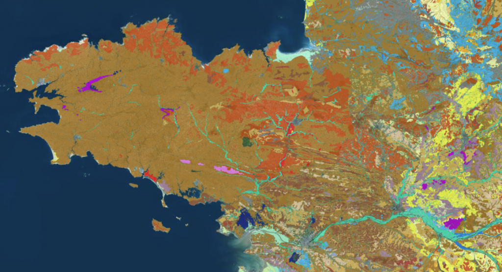
At Inicio we built Eywa, an algorithm that can find the best solar power plant location, using billions of geographical data points. Sometimes, it can be hard to make sense of all this data: forests, wet areas, cadastral parcels, etc. To help our teams get a sense of what this data actually *looks* like, we […]